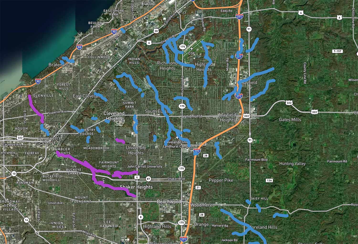
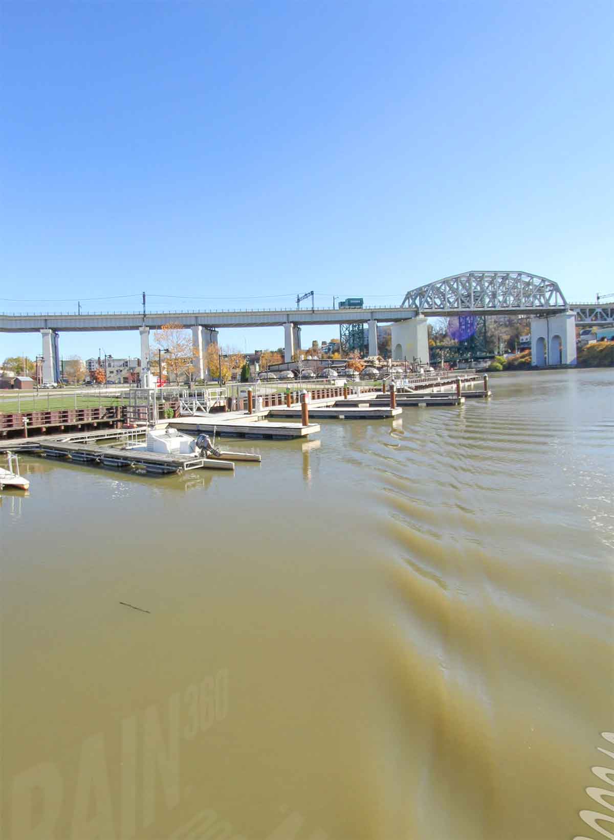
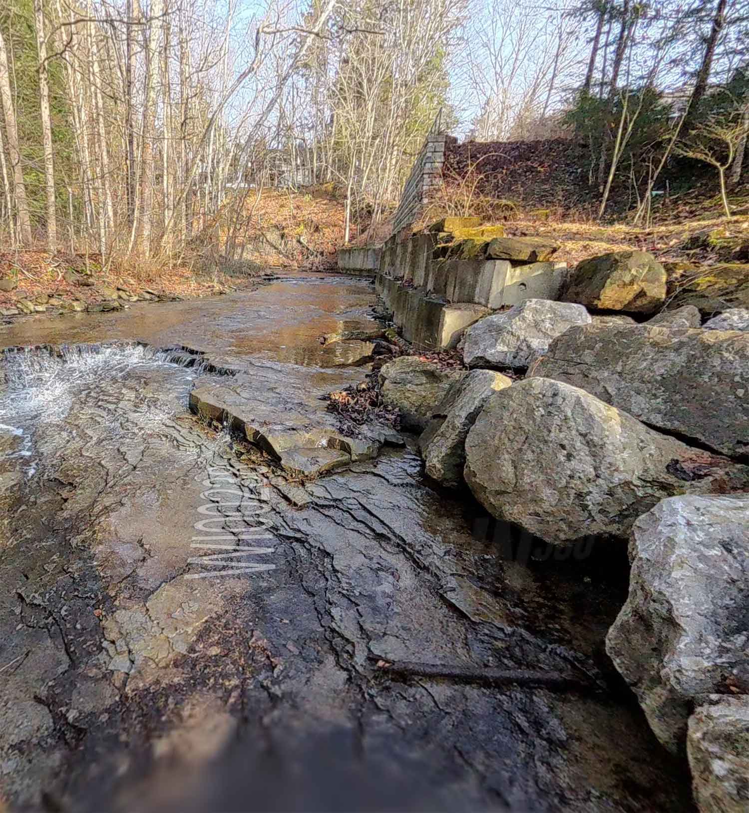
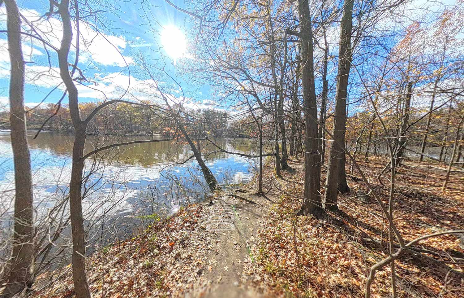
Mapping Lower Michigan has yielded over 3000 miles of waterways, hiking trails, biking trails and greenways captured to date. We are working with multiple groups to capture their trails of importance.
Some of the great partners we are workign with in Lower Michigan include Southeast Michigan Council of Governments, Tri-County Planning Commission, Genesee County Metropolitan Planning Commission, Huron River Water Trail and others.
One of our biggest projects to date - mapping all the rivers that pour into the Chesapeake Bay. This epic mapping project spanned the headwaters of the bay with the Susquehanna River to the ecologically sensitive Nanticoke River then south to the Potomac River, Rappahannock, Patuxent River, Pocomoke and James River.
Exploring and mapping the shipwrecks of the Blackwater River was an incredible experience. We worked with the Blackwater Maritime Heritage Trail nonprofit advocacy group to document these wrecks and the shoreline of the Blackwater River and surrounding tributaries.
Terrain360 has mapped over 400 public access locations for waterways and shoreline boardwalks since 2013. Use Terrain360 to explore these access points.
This boardwalk stretches over three miles along Pensacola beach in the Florida Panhandle
Mason Neck Boating access is a great way to view public access on the Potomac River
One of the more difficult locations to visit and map, Tangier Island is a disapearing island in the Chesapeake Bay. Capturing this gem at a point in time helps measure shoreline erosion changes far into the future.
Ocracoke Island is an ever changing landscape steeped in history.
Shoreline erosion detection and analysis using Terrain360 tools.
Terrain360 has mapped many National Parks around the country.
A Georgeous National Park in Maine.
Explore the famous "Narrows" River and Angel's Landing Trail on Terrain360.com